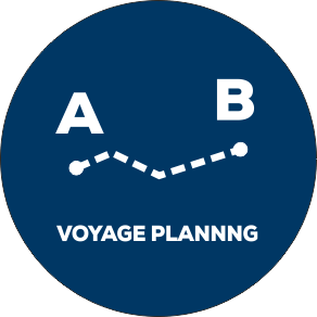
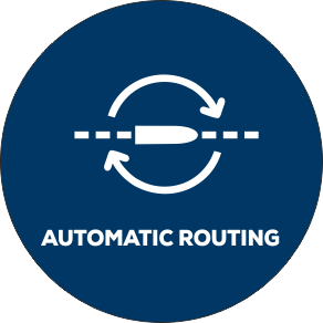
Navigable, safe, berth-to-berth voyage planning is a prerequisite for any kind of voyage optimisation and ChartWorld can offer you a solution that provides these capabilities. ChartWorld Auto-Routing concept offers ready-to-use solutions for numerous end-customer scenarios:
Fleet voyage planning and monitoring systems for ship owners, operators, and charterers
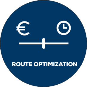
Routing solution and data providers such as companies working on optimisation for fuel saving and efficient voyage calculation
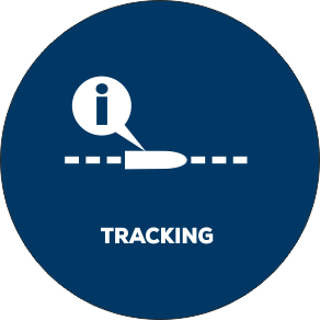
Insurance companies, working with the shipping industry – for tracking onboard safety related measures
Ship and fleet automation systems developed and used by service providers for the shipping industry such as solutions for autonomous shipping
ENCs and additional data for route calculation, analysis and verification

Route verification. Route safety checks in accordance with IMO ECDIS performance standard.

Auto-Routing Server provides the vessel with an ECDIS ready voyage plan based on a route network, port databases, bathymetry from ENCs, weather forecast and a mathematical ship model

Official electronic navigational charts as well as additional data for route analysis and verification.

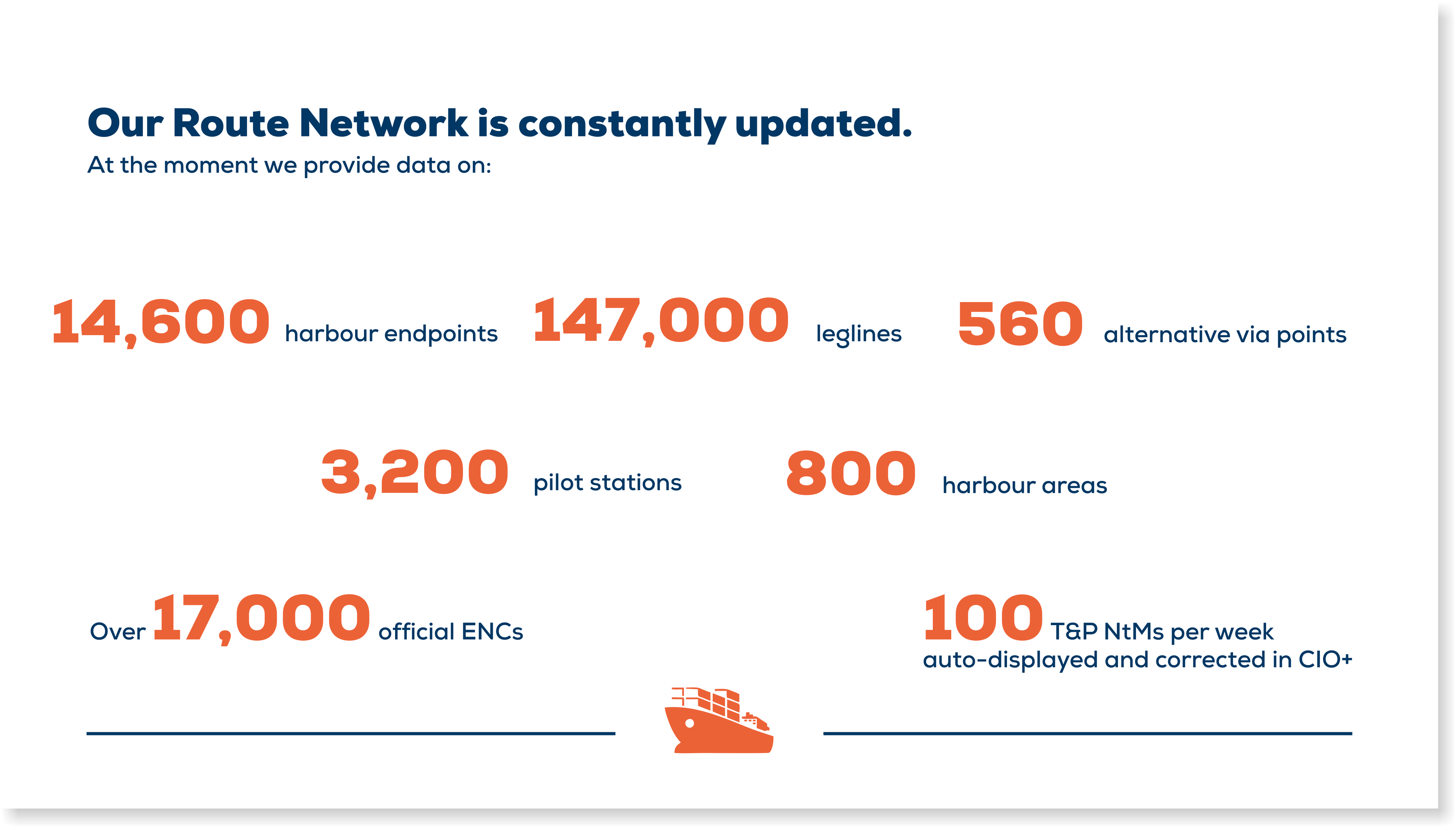
Route Network containing waypoints and route legs with depth information and XTD corridors calculated for each leg based on bathymetric information extracted from nautical charts.

Unique CIO+ database including all relevant T&P NtM data, NAVAREA warnings, MARPOL zones, ECA zones, other marine protected areas, and sea limits like territorial waters and EEZ.