In recent years, more and more companies and organizations dealing with maritime matters have experienced a demand to include electronic charts in various applications and services that they use. For example, charts are displayed in monitoring applications, together with other geodata, or as a simple backdrop providing a geographical reference.
ChartWorld Hosting Services is an advanced web-mapping solution, intended to enhance your application by offering a world coverage of electronic charts, using a web-based service.
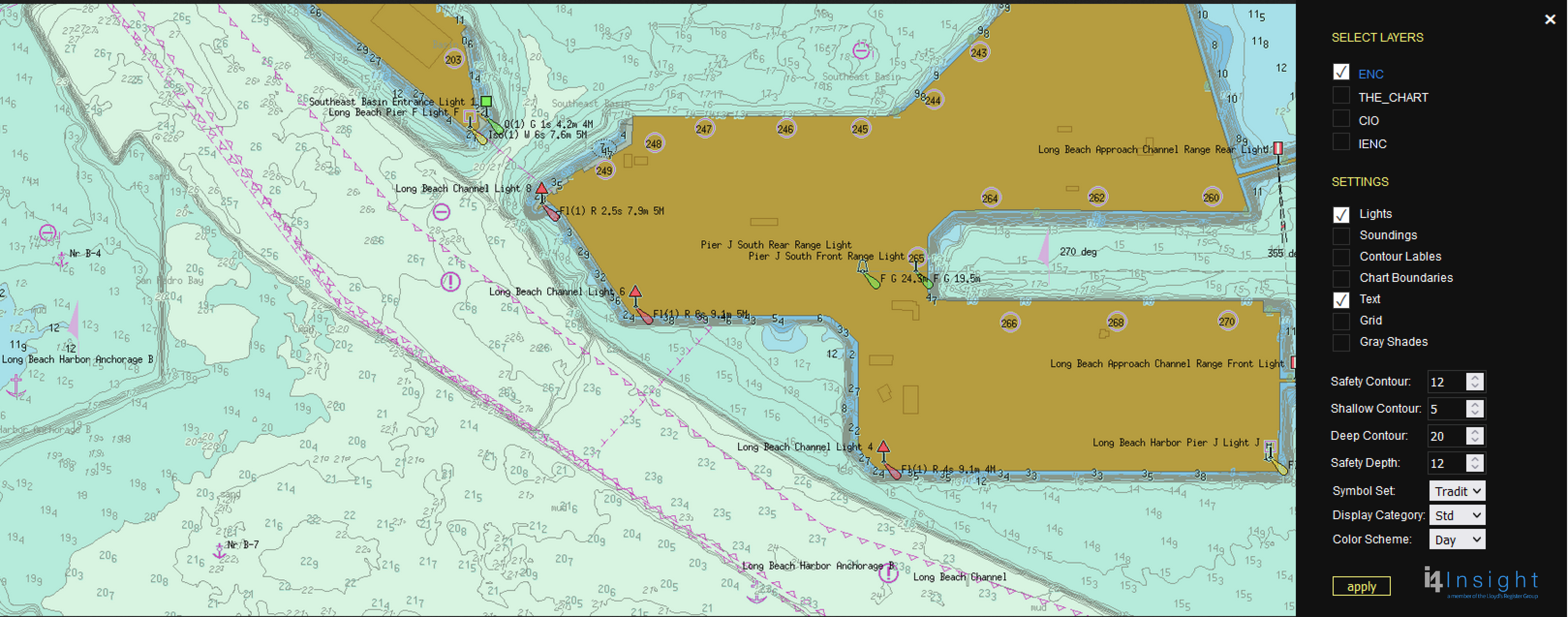
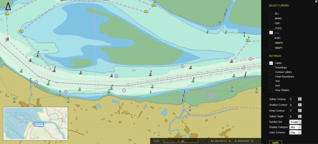
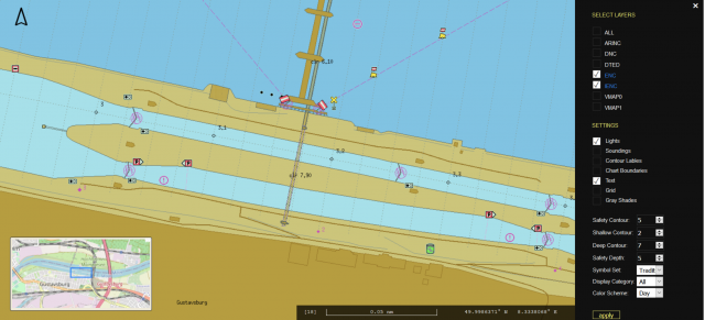
Based on our company’s own technology, specifically designed to correctly display Electronic Charts, the system takes SevenCs' facilities - WMS (Web Map Service) ChartServer - and integrates a choice of different digital chart products with them.
ChartWorld Hosting Services provides access to a worldwide chart database, always up to date and accessible from every point of the globe. Any web-client or application that supports the OGC (Open Geospatial Consortium) standard can easily access and use this service.
The i4-Insight (Lloyd’s Register) Professional+ Charts of this service are the same as are used by a wide range of professional navigation systems (ECDIS and ECS). The service contains the global coverage of Professional+ digital charts.
Other chart products:
ChartWorld Hosting Services can also be supplied with chart products from other suppliers or of another origin - e.g. freely available S-57 charts (ENC, AML), ChartWorld Charts, Inland ENCs from a variety of Waterway Authorities, and other digital chart data that customers may have access to.
The chart images provided by our service are almost identical to the data used on the ship's navigation instruments. Nevertheless, this service is not intended for navigation. Rather, it is intended solely for viewing and retrieving information from digital nautical charts in a web-environment or a company-specific application.
End-users are relieved of the task of installing and/or updating chart data. ChartWorld fully takes care of chart management, giving unparalleled support to every professional chart data user.
Our unique worldwide background chart is included, with useful and safety-relevant information on a scale of 1:1.000.000. Additional information, such as traffic separation and more than 4000 main harbour locations, bring additional value and safety to users.
The WMS ChartServer Hosting Service is very flexible and has been optimized for interoperability with third-party services. This enables the end-user to interact with other geospatial data, e.g. weather, tide, land, and satellite. Besides this, it is possible to integrate the service into third-party applications (e.g. GIS and geo-data viewers) that have WMS-viewing functions.
SevenCs WMS ChartServer constitutes the technical backbone of ChartWorld Hosting Services. To learn more about the technical details and to enjoy some user experience, please refer to the product introduction page of WMS ChartServer.